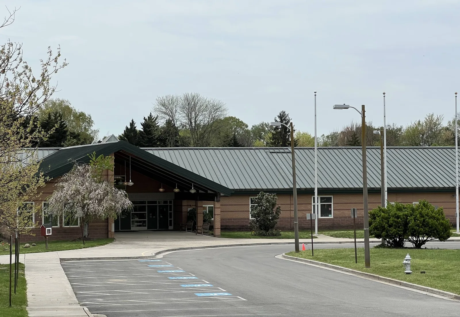
GreenGate, at West Broad Street and North Gayton Road, is zoned for Nuckols Farm Elementary and Deep Run High. ZIP 23233 typical value: $535,638.
Last checked Oct. 19, 2026. Sources: OpenStreetMap, Henrico County’s Vision 2026 Comprehensive Plan, Henrico County Public Schools’ school locator map data, the Virginia Department of Education’s School Quality Profiles, Zillow Research, VDOT and GRTC’s schedule data.
GreenGate is a development at Short Pump’s west end, on the south side of West Broad Street at North Gayton Road, close to the Goochland County line. OpenStreetMap names it as a neighborhood. This page covers GreenGate and the streets south and west of it around Nuckols Farm Elementary School.
What this means for you
- Zoned high school: Deep Run High, on the HCPS locator map. Check your address with the HCPS school locator.
- Home value: $535,638 in ZIP code 23233 in September 2026, according to the Zillow Home Value Index.
- Nearest I-64 exit: Exit 178, U.S. 250 (West Broad Street), about three miles east.
Part of our Short Pump neighborhoods guide.
Where it is
GreenGate sits in the southwest corner of West Broad Street (U.S. 250) and North Gayton Road. Broad Street continues west into Goochland County, where it becomes Broad Street Road. North Gayton Road runs north across I-64 toward Pouncey Tract Road and south to Church Road. The area is in ZIP code 23233 and inside the Short Pump census-designated place, in unincorporated Henrico County.
Henrico’s Vision 2026 Comprehensive Plan names this stretch of Broad Street the “W. Broad Street-West Area,” one of the county’s mixed-use special focus areas. The plan says the area was under pressure “to convert from rural and agricultural uses to commercial development.” It envisions “vertically Mixed-Use structures in a compact and walkable environment” with structured parking and public spaces, built to the W. Broad Street Overlay District and respecting the homes to the south.
OpenStreetMap also names several neighborhoods next to GreenGate along Graham Meadows Drive and North Gayton Road, among them Graham Meadows, Gayton Station and Sedgemoor Oaks.
Schools
Every point we checked in and around GreenGate on the HCPS attendance map is zoned for the same three schools. All are Fully Accredited for 2025-26.
| School | Address | Reading pass rate, 2025-26 | Math pass rate, 2025-26 |
|---|---|---|---|
| Nuckols Farm Elementary | 12351 Graham Meadows Drive | 88% | 91% |
| Short Pump Middle | 4701 Pouncey Tract Road | 84% | 85% |
| Deep Run High | 4801 Twin Hickory Road | 97% | 91% |
Pass rates are for all students on the state’s Standards of Learning tests, from each school’s School Quality Profile. South of here, around Wellesley, the zones switch to Pocahontas Middle and Mills E. Godwin High, so check any address near Church Road in the locator and with the HCPS boundaries office at 804-652-3745. More in our Short Pump schools guide.
Home values
The typical home in ZIP code 23233 was worth $535,638 in September 2026, up 2.6% from $522,290 a year earlier, according to the Zillow Home Value Index. Henrico County as a whole was $397,454. The index is a modeled value for the middle third of homes, not a sale price. See our home prices guide.
Parks and trails
- Nuckols Farm Park, a small park beside Nuckols Farm Elementary, is mapped in OpenStreetMap.
- Tuckahoe Creek Park, with an entrance on Old Coach Lane off Lauderdale Drive: an accessible boardwalk through the Tuckahoe Creek wetlands.
- Short Pump Park, 3329 Pump Road: dog park, spray park and athletic fields.
See our parks and trails guide.
Getting around
- Interstate: I-64 Exit 178, U.S. 250 (West Broad Street), is about three miles east along Broad Street, measured on the OpenStreetMap road network. VDOT is designing a diverging diamond interchange at North Gayton Road, with construction estimated from summer 2028 to late 2031; see our road construction page.
- Downtown Richmond: about 16 miles by road.
- Airport: Richmond International Airport is about 24 miles by road. These are distances, not drive times.
- Bus: GRTC Route 19 stops on West Broad Street at Cabela Drive. Its western end is Sheltering Arms Institute off Wilkes Ridge Parkway. It runs every day east to Willow Lawn, from GRTC’s fall 2026 schedule data.
Groceries and everyday stores
From OpenStreetMap:
- Aldi, 12390 W. Broad St.
- CVS Pharmacy, 12410 W. Broad St.
- Wegmans, 12200 Wegmans Blvd., across Broad Street
Related guides: Short Pump neighborhoods, Wellesley and the Pouncey Tract Road corridor.
Frequently asked questions
What schools is GreenGate in Short Pump zoned for?
On the Henrico County Public Schools locator map, GreenGate and the streets around it are zoned for Nuckols Farm Elementary, Short Pump Middle and Deep Run High. All three are Fully Accredited for 2025-26.
What ZIP code is GreenGate in?
ZIP code 23233. Zillow put the typical home value there at $535,638 in September 2026, up 2.6% in a year.
Is there a bus to GreenGate?
Yes. GRTC Route 19 stops on West Broad Street at Cabela Drive and ends nearby at Sheltering Arms Institute off Wilkes Ridge Parkway. It runs every day.
Is there an I-64 exit at North Gayton Road?
VDOT plans to rebuild I-64 at North Gayton Road as a diverging diamond interchange, with construction estimated from summer 2028 to late 2031. Today the nearest I-64 exit for GreenGate is Exit 178, about three miles east along Broad Street.
Have your say