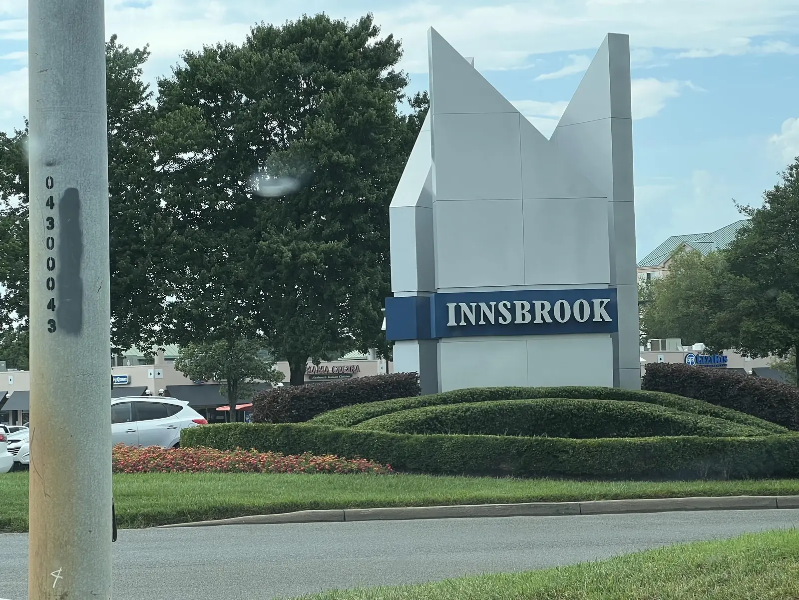
Innsbrook, east of I-295 on Cox Road, is mostly zoned for Glen Allen High. Typical home in ZIP 23060: $452,640 in September 2026, Zillow says.
Last checked Oct. 19, 2026. Sources: the U.S. Census Bureau’s Innsbrook CDP profile (American Community Survey 2020-2024) and place boundaries, Henrico County’s Special Focus Areas map, Henrico County Public Schools’ school locator map data, the Virginia Department of Education’s School Quality Profiles, Zillow Research, Henrico County Recreation and Parks and Public Works, GRTC’s schedule data and OpenStreetMap.
Innsbrook is the business district along Cox Road, and it is also a census-designated place with 8,578 residents, according to the Census Bureau’s 2020-2024 estimate. OpenStreetMap names it as a village. It sits just east of Short Pump, across I-295, and its homes and offices share the West Broad Street corridor with West Broad Village.
What this means for you
- Zoned high school: Glen Allen High for most of Innsbrook north of Broad Street; J.R. Tucker High south of it. Check your address with the HCPS school locator.
- Home value: $452,640 in ZIP code 23060 in September 2026, according to the Zillow Home Value Index.
- Nearest interstate exits: I-64 Exit 178 (West Broad Street) and I-295 Exit 51 (Nuckols Road), each within about two miles.
Part of our Short Pump neighborhoods guide.
Where it is
The Innsbrook census place runs from I-295 and the I-64 interchange on the west to about Springfield Road on the east, and from Nuckols Road in the north down across West Broad Street (U.S. 250) to I-64 in the south. Cox Road, Dominion Boulevard and Sadler Road are its main north-south streets. Most addresses are in ZIP code 23060, with a small part in 23233.
Henrico County’s Special Focus Areas map for its Vision 2026 Comprehensive Plan, updated Sept. 14, 2010, marks the “Innsbrook Area” along Cox Road as a mixed-use/village area, the same category as the West Broad Street area at Short Pump’s west end. Innsbrook is unincorporated; Henrico County provides police, fire, roads and trash service.
Schools
The Henrico County Public Schools attendance map splits Innsbrook at about West Broad Street. We sampled the census place on a grid:
| Zone | Share of Innsbrook’s area | Elementary | Middle | High |
|---|---|---|---|---|
| North of Broad, most of it | About 75% | Rivers Edge or Springfield Park | Holman | Glen Allen |
| South of Broad and some streets near it | About 25% | Jackson Davis, R.C. Longan or Colonial Trail | Quioccasin or Holman | J.R. Tucker |
Pass rates for all students on the 2025-26 Standards of Learning tests, from each school’s School Quality Profile:
| School | Reading | Math |
|---|---|---|
| Rivers Edge Elementary | 92% | 94% |
| Springfield Park Elementary | 77% | 79% |
| Jackson Davis Elementary | 71% | 73% |
| R.C. Longan Elementary | 62% | 68% |
| Holman Middle | 81% | 79% |
| Quioccasin Middle | 60% | 44% |
| Glen Allen High | 93% | 84% |
| J.R. Tucker High | 81% | 73% |
All are Fully Accredited for 2025-26. Area shares are not shares of homes, and zone lines can change; confirm any address with the HCPS locator and the boundaries office at 804-652-3745.
Home values
The typical home in ZIP code 23060 was worth $452,640 in September 2026, up 1.1% from $447,498 a year earlier, according to the Zillow Home Value Index. That ZIP code covers much of Glen Allen. The Census Bureau’s median value of owner-occupied homes in the Innsbrook census place was $463,500 in its 2020-2024 survey. Zillow’s index is a modeled value for the middle third of homes, and the Census figure is what owners reported; neither is a sale price. See our home prices guide.
Parks and trails
- Springfield Park, 4600 Springfield Road: a neighborhood playground and picnic shelter.
- Echo Lake Park, 5701 Springfield Road, just east: a fishing lake and pier, a half-mile nature trail and a playground.
- The Innsbrook Pavilion, 4901 Lake Brook Drive, hosts the After Hours Concerts series; see our concerts guide.
Henrico Public Works is designing the Nuckols Trail, a shared-use path that would start at Nuckols and Springfield roads, with construction of the first phase in 2027. A public hearing is set for 5:30 to 7 p.m. Wednesday, Nov. 18, at Springfield Park Elementary School. See our road construction page.
Getting around
- Interstate: I-64 Exit 178, U.S. 250 (West Broad Street), is at Innsbrook’s southwest corner, and I-295 Exit 51, Nuckols Road, is at its north end, about two miles from the middle by road, measured on the OpenStreetMap road network.
- Downtown Richmond: about 14 miles by road.
- Airport: Richmond International Airport is about 22 miles by road. These are distances, not drive times.
- Bus: GRTC Route 19 stops on West Broad Street at Cox Road, every day. On weekdays, Route 29X runs to downtown from the park-and-ride lot at Gaskins Road and Mayland Drive, south of I-64. Both from GRTC’s fall 2026 schedule data; see our getting around guide.
Groceries and everyday stores
From OpenStreetMap:
- Publix and its pharmacy, 9645 W. Broad St.
- CVS Pharmacy, 10901 W. Broad St.
- Kroger, 9480 W. Broad St., just east
- Tom Leonard’s Farmers Market, 4150 Tom Leonard Drive, just west
Related guides: Short Pump neighborhoods, West Broad Village and Short Pump vs. Wyndham vs. Tuckahoe vs. Glen Allen.
Frequently asked questions
What high school is Innsbrook zoned for?
On the Henrico County Public Schools locator map, most of Innsbrook north of West Broad Street is zoned for Glen Allen High. The part south of Broad Street, and some streets near it, are zoned for J.R. Tucker High.
What ZIP code is Innsbrook in?
Mostly 23060, a Glen Allen ZIP code, according to the Census Bureau’s ZIP code areas. Zillow put the typical 23060 home at $452,640 in September 2026.
What is the population of Innsbrook, Virginia?
8,578, according to the Census Bureau’s American Community Survey estimate for 2020-2024 for the Innsbrook census-designated place.
Which interstate exits serve Innsbrook?
I-64 Exit 178, U.S. 250 (West Broad Street), at its southwest corner, and I-295 Exit 51, Nuckols Road, at its north end.
Have your say